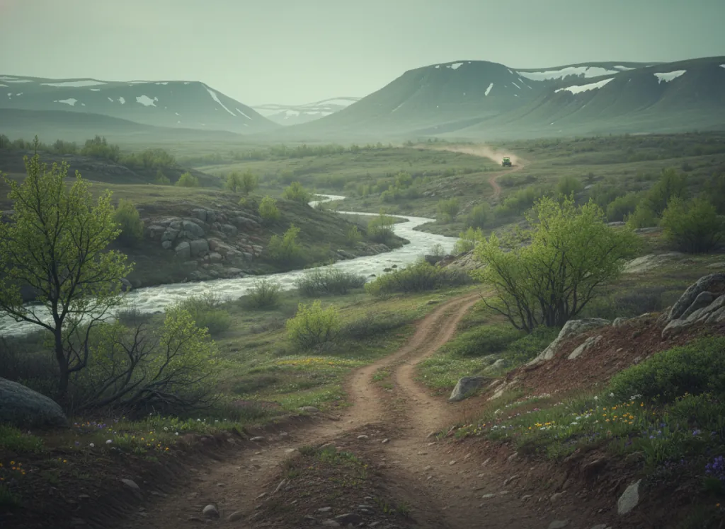
The Chequamegon-Nicolet National Forest encompasses 1.5 million acres of northern Wisconsin lake country split between two geographically distinct units: the Chequamegon unit (approximately 840,000 acres) in Price, Taylor, Sawyer, Bayfield, and Ashland counties in the west, and the Nicolet unit (approximately 660,000 acres) in Forest, Vilas, Oneida, Langlade, and Oconto counties in the northeast. Together they form the largest national forest in the Great Lakes region and the primary public-land OHV destination serving the Milwaukee metropolitan area (1.6 million), the Madison corridor (600,000), Green Bay (320,000), and the Minneapolis-St. Paul market (3.7 million) to the west, an aggregate market of more than six million people within a four-hour drive. The OHV designated route system operates throughout both units on a network of forest roads and ATV-legal corridors, with the Chequamegon unit's Great Divide District near Park Falls and Medford providing the most developed OHV infrastructure. The northern Wisconsin lake country terrain is the legacy of the last glaciation: more than 1,200 lakes dot the forest, the rolling moraines and outwash plains are blanketed in second-growth aspen, birch, maple, and pine that replaced the old-growth logged in the late 19th century, and the headwaters of the Chippewa and Flambeau rivers drain the Penokee Range highlands in the forest's northwest corner. The Penokee Range, an ancient iron formation running east-west through Ashland and Iron counties, reaches just 1,600 feet but provides ridge riding above the lake-studded lowlands. Park Falls, Medford, Rhinelander, Eagle River, and Minocqua serve as the primary gateway communities. Park Falls Ranger District (715-762-2461) manages current Chequamegon OHV trail conditions.
Hours
Accessible approximately May through October; northern Wisconsin routes close under snow. No day-use fee. Wisconsin OHV registration required on designated routes.
Phone
715-762-2461Website
https://www.fs.usda.gov/cnnfTrip openings, seasonal updates, and the occasional deal, straight to your inbox.
FAQ
Everything you need to know before you get started.
Have a question, or ready to book? Reach out and we’ll get right back to you.